Practice
Environmental technology.
Measure, map, report.
Software and data for climate, conservation and natural resources, used by governments, regional bodies and conservation programs across the Caribbean.
20+
Caribbean nations reached through CPAG
Services
What this practice delivers.
08
MRV platforms
National platforms for measuring, reporting and verifying climate action, so governments can track progress and report it with confidence.
09
Drone and geospatial data
We build the platforms that process and publish drone and satellite data, so scientists and field teams work from current, accurate maps.
10
Conservation tools
Dashboards and decision tools that bring protected-area, biodiversity and natural resource data together for the people who manage them.
Use cases
What we can do for you.
Each use case is a problem organizations bring us, and how we solve it.
13
I am a university running environmental research across several departments.
14
I am a drone program collecting aerial imagery across many sites and partners.
Work
The evidence.
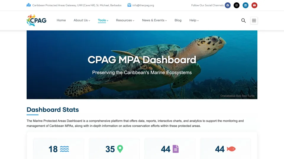
CPAG MPA Dashboard
Live
A web application that lets marine protected area managers upload ecological monitoring data and follow the health of their sites over time.
For: Oracabessa Marine Trust and the Jamaica MPA Network
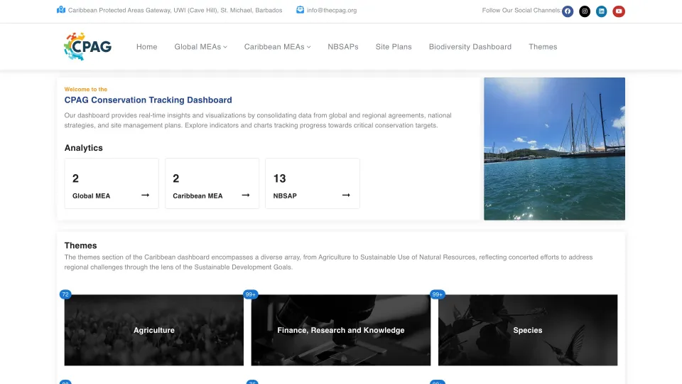
CPAG Conservation Dashboard
Live
An interactive dashboard that lets policymakers, conservationists and CPAG staff follow global, regional and national biodiversity targets and their indicators in one place.
For: Caribbean Protected Areas Gateway
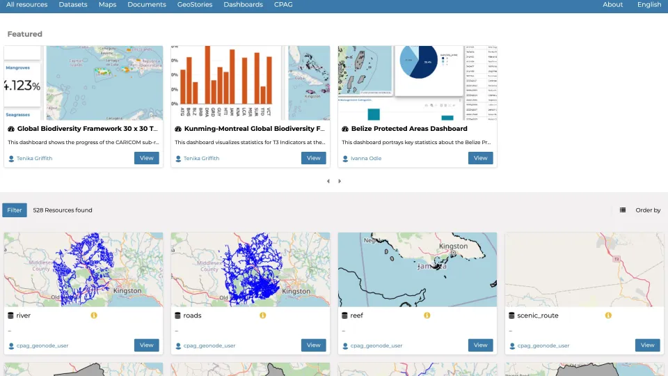
CPAG Data and Mapping Tool
Live
A geospatial content management system for the Caribbean Protected Areas Gateway, built on GeoNode, where users upload data and make their own maps, dashboards and geostories without specialist GIS software.
For: Caribbean Protected Areas Gateway
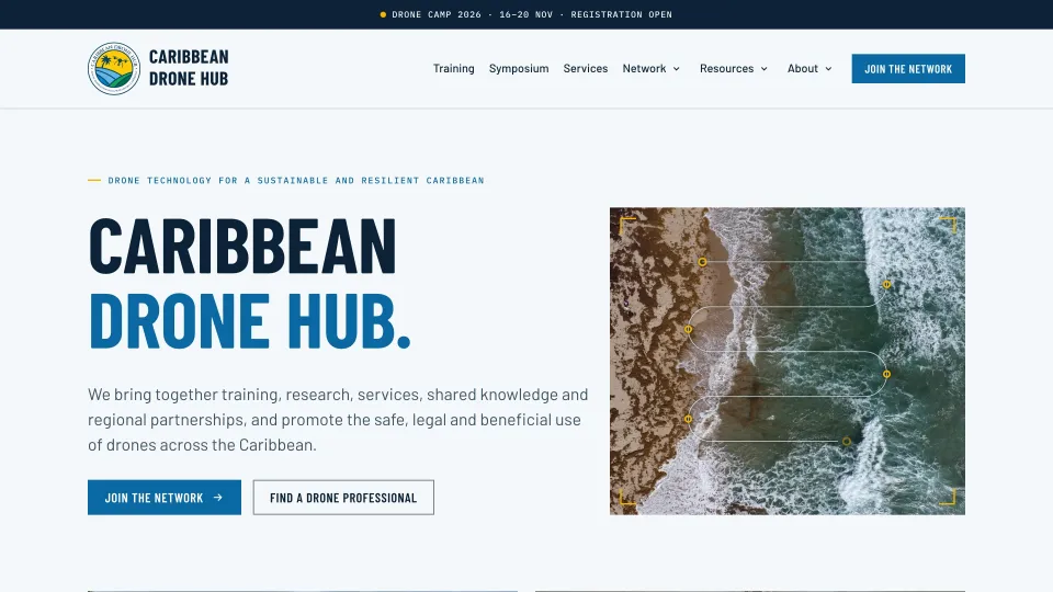
Caribbean Drone Hub
Live
The Caribbean Drone Hub is a regional initiative led by CERMES, UWI Cave Hill, to support the safe, responsible and practical use of drones. We engineer its technology platform for drone regulations, events, training, resources and a directory of experts.
For: CERMES, UWI Cave Hill
The team
Who works in this practice.
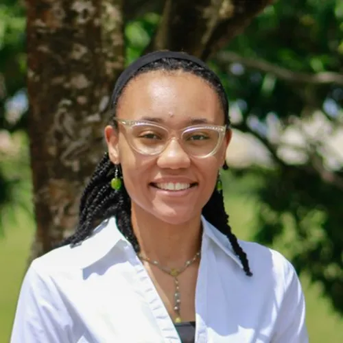
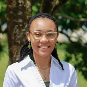
Project Manager and Environmental Scientist Lead, Environmental technology
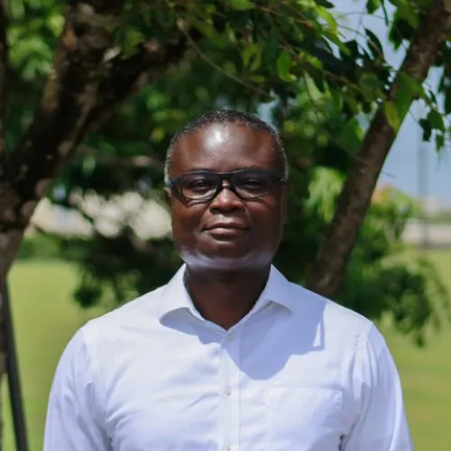
Software Architect Lead, Software engineering

Project Coordinator
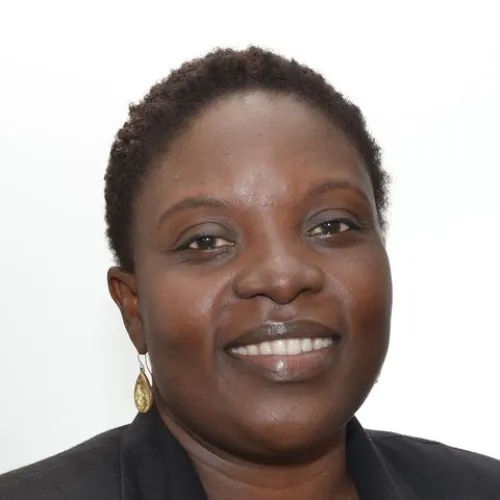
Communications Specialist and Project Coordinator
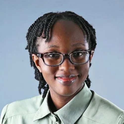
Research Analyst Intern
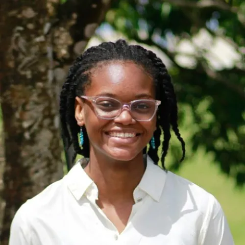
Software Developer Intern
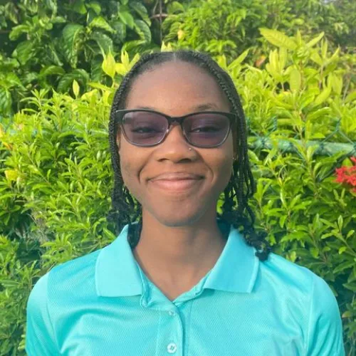
Research Analyst Intern
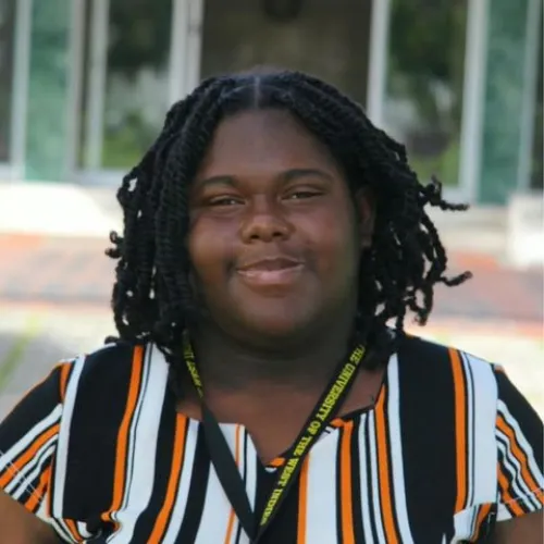
Research Analyst Intern
Three practices, one team
Software engineering
Discover, define, deliver.
Systems engineering
Design, run, secure.