Case study · Live
Maps and geospatial data for people who aren’t GIS experts.
A geospatial content management system for the Caribbean Protected Areas Gateway, built on GeoNode, where users upload data and make their own maps, dashboards and geostories without specialist GIS software.
- Client
- Caribbean Protected Areas Gateway
- Sector
- Conservation
- Based in
- Caribbean
- Engagement
- Hosting and customization, since 2022
- Practice
- Environmental technology
2025
Upgraded GeoNode on a new server
The challenge
Geospatial data for everyone.
Protected-area managers across the Caribbean hold maps and datasets but often lack GIS software or training. CPAG needed a way for users without technical expertise in GIS to upload, manage and share geospatial data and build their own maps, and a home for that data that stays secure and available.
What we did
Open source, themed and maintained.
01
Chose GeoNode
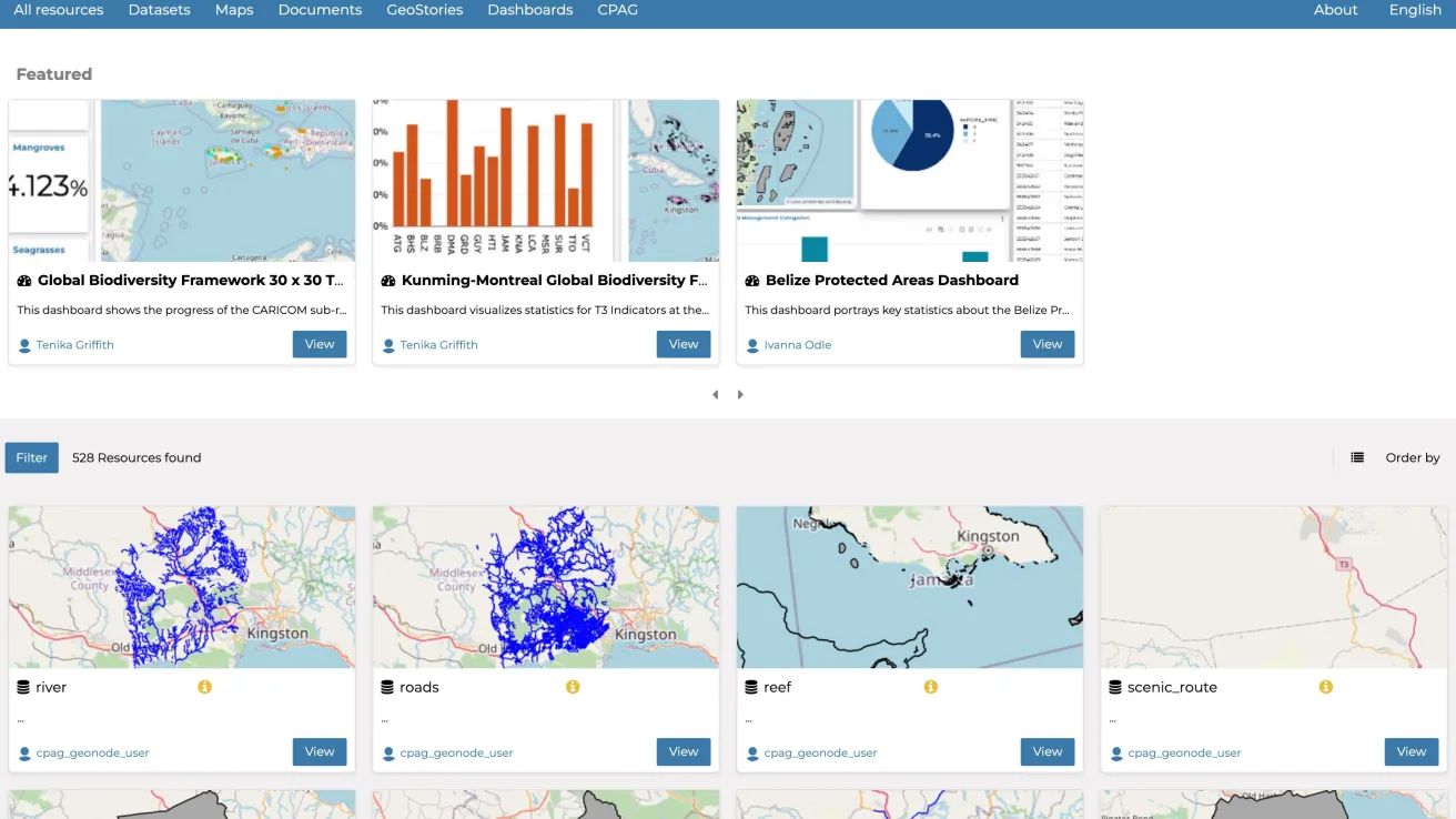
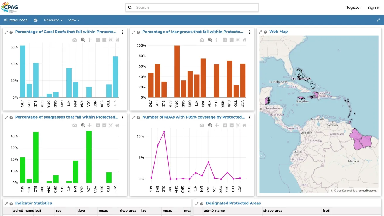
GeoNode is an open-source geospatial content management system. It gives users data uploads, maps, dashboards and geostories without GIS software.
02
Made it CPAG’s own
We customized the theme, wording and images so it feels like part of the gateway.
03
Kept it current
In 2025 we upgraded GeoNode on a new server, migrating users, datasets, maps and dashboards.
04
Protected the data
Automated backups, monthly server maintenance and uptime monitoring.
05
Fed the website
Custom map tiles served from GeoNode power the interactive maps on the CPAG website.
The outcome
A map tool anyone can use.
CPAG’s users upload and manage their own geospatial data and build maps, dashboards and geostories without GIS software. The tool runs on an up-to-date GeoNode, is backed up and monitored, and supplies the maps on the CPAG website.
The team
Who did the work.

Software Architect Lead, Software engineering
Technical lead

Project Manager and Environmental Scientist Lead, Environmental technology
Project manager

Systems Administrator and DevOps Engineer
Systems administrator

Software Developer Intern
Content
Use cases