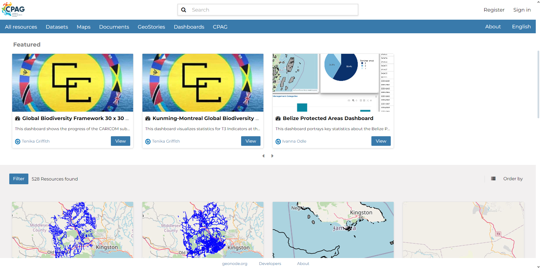
CPAG Data & Mapping Tool
The CPAG Data & Mapping Tool serves as a geospatial content management system, leveraging the open-source Geonode platform. It enables seamless management and utilization of various geospatial data types and is designed for user-friendliness, catering to individuals without technical expertise in Geographic Information Systems (GIS). Users can easily upload geospatial data without requiring specialized GIS software, and they can create their own maps, dashboards and geostories.

